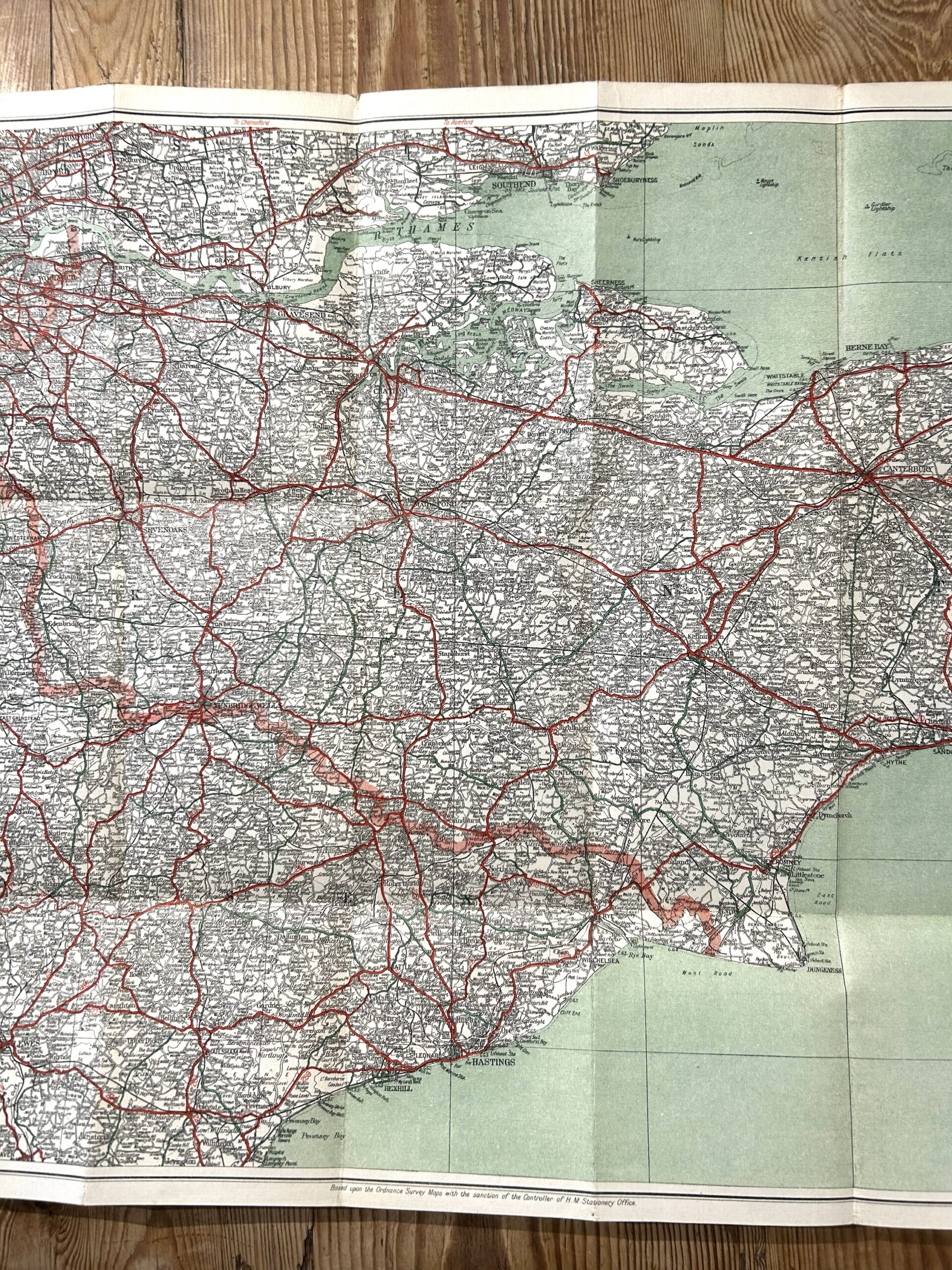
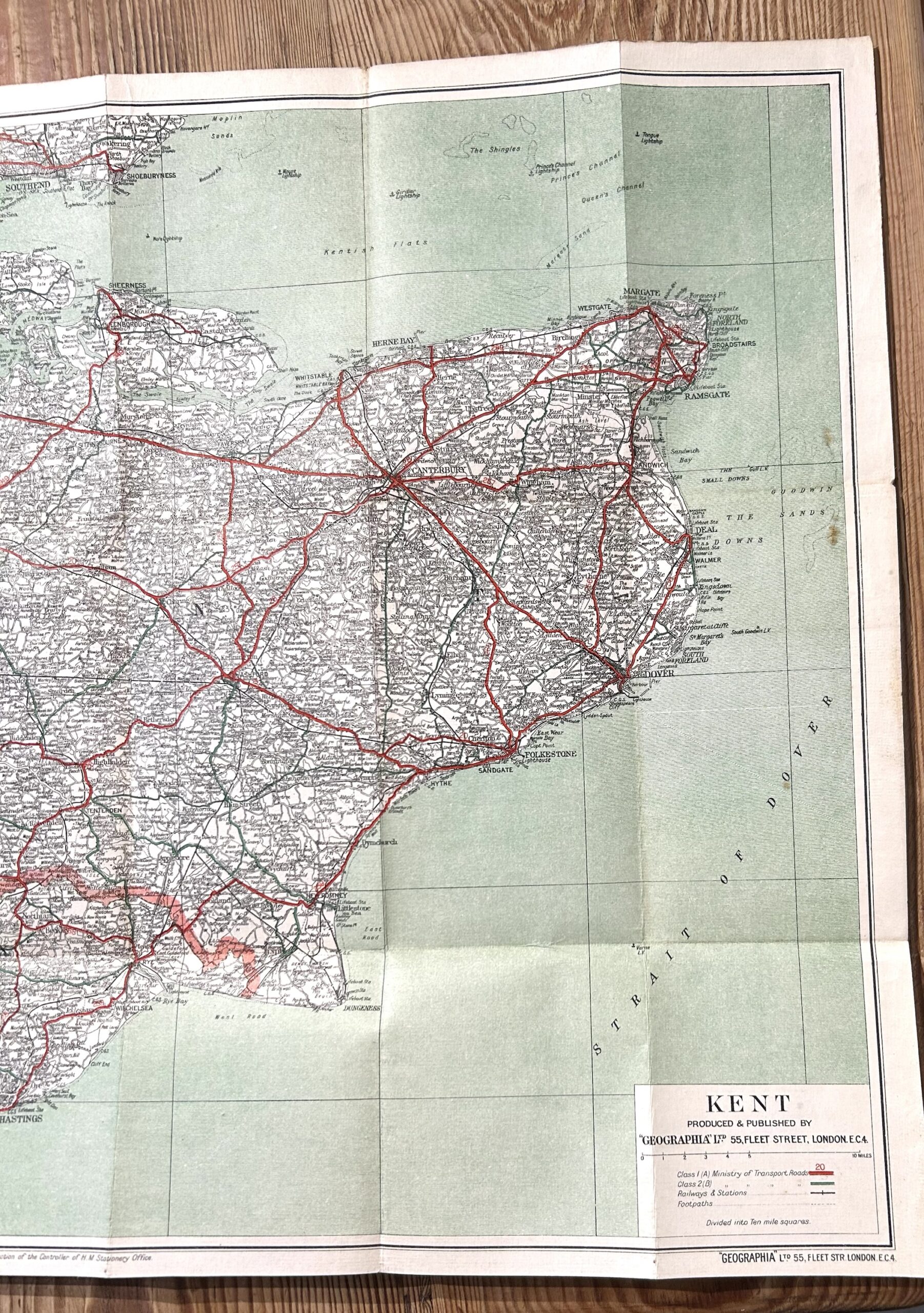
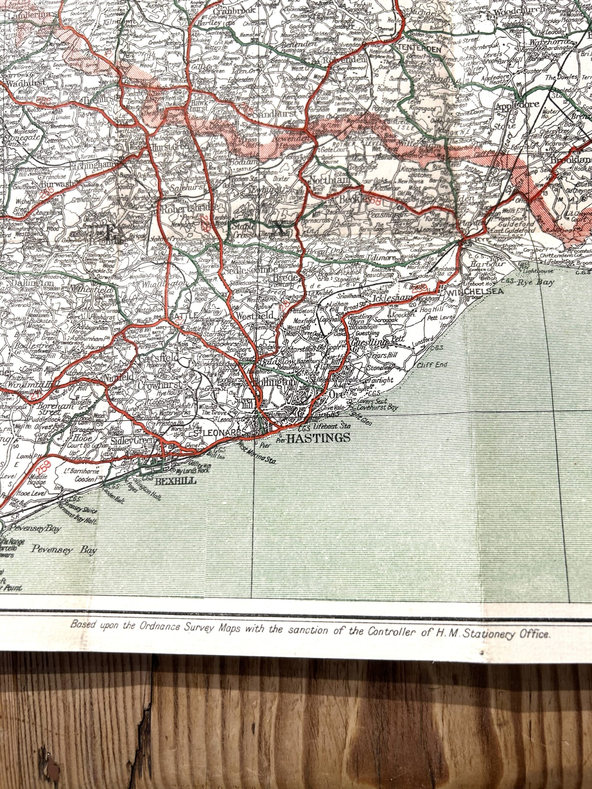
Description
This 1920s Geographia publication offers a detailed large-scale cartographic survey of Kent, specifically designed for early twentieth-century motorists. The map features a durable cloth-mounted backing, allowing for repeated folding and outdoor use. It highlights the evolving road networks of the era, including primary routes, local lanes, and significant landmarks across the county. This vintage reference provides a precise geographical record of the region’s topography and transport infrastructure prior to major modern urban expansion.
3 Miles=1 Inch